Geomni Capturing Aerial Imagery of California Wildfires
Earlier this month, Geomni activated one of its regional hubs and is proactively capturing aerial imagery in response to the Southern California fires. Aerial imagery capture began on Friday, Dec. 8, to authorized areas, complying with Federal Aviation Administration (FAA) regulations that ensure emergency response teams can effectively combat the fires.
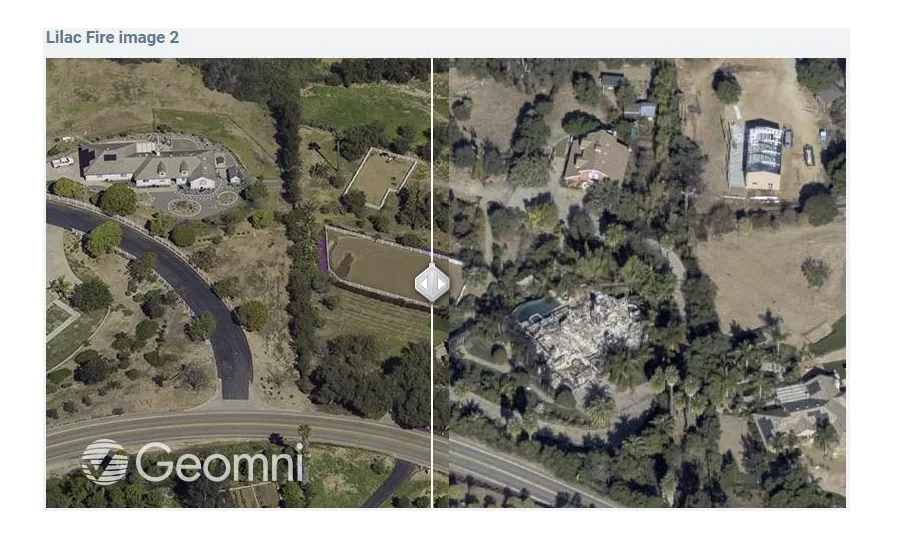
Geomni is a Verisk (Nasdaq:VRSK) business that harnesses remote sensing and machine learning technologies to provide information about residential and commercial structures. Imagery collected will help document the areas affected, provide operational efficiencies, and accelerate the damage estimation and restoration process for homes and commercial buildings, helping insurers protect people and property. Geomni imagery and data analytics fully integrate with Xactware’s Xactimate® platform, the most widely used repair cost estimating solution on the market.
With the fires spreading over the weekend, Geomni has activated a second regional hub and mobilized additional aircraft to support aerial imagery efforts on a larger scale. Geomni will continue aerial flyovers throughout this week and as long as needed to effectively cover the large geographic area now affected by these fires.
Looking for quick answers on restoration, remediation and cleaning topics?
Try Ask R&R, our new smart AI search tool.
Ask R&R →
Looking for a reprint of this article?
From high-res PDFs to custom plaques, order your copy today!


